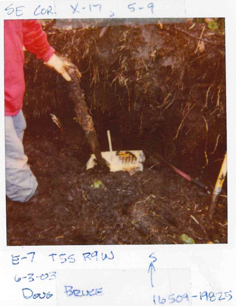
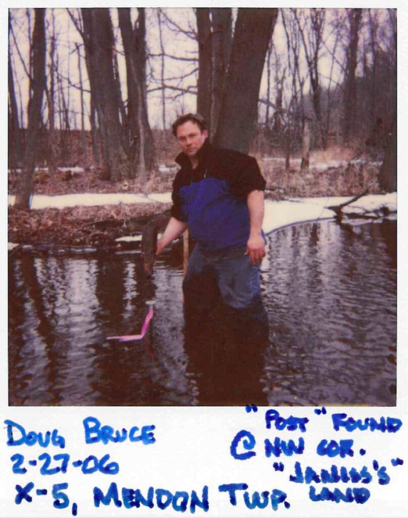
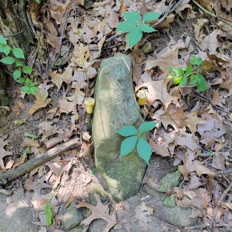
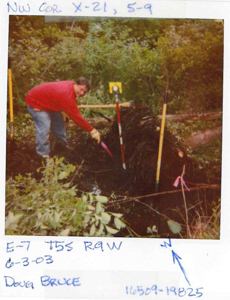
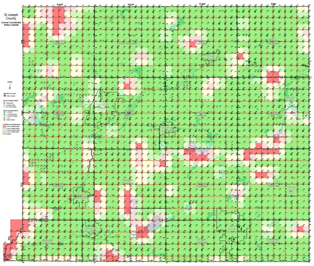
Managed locally by the GIS Department and the County Surveyor, the Remonumentation Program is a statewide initiative to accurately survey and mark the corners of the Public Land Survey System (PLSS).
The program restores markers originally set in 1829 that have been lost or destroyed over nearly two centuries. By providing an updated representation of these corners, we help resolve boundary disputes and support accurate land management for all residents.